Exporting and Mapping your classified product
We have produced our classified mangrove product based on Sentinel-1 C data using Google Earth Engine (GEE) through a pixel-based machine learning method. Now we need to export the product into our Google Drive, and loaded in a QGIS project to create a cool map. Our last step in GEE is to export the product
Export.image.toDrive({
  image: RFclassification,
  description: 'classified_mangrove',
  folder:'servir',
  fileNamePrefix: 'classified_mangrove',
  scale: 30,
  maxPixels: 1e13
});
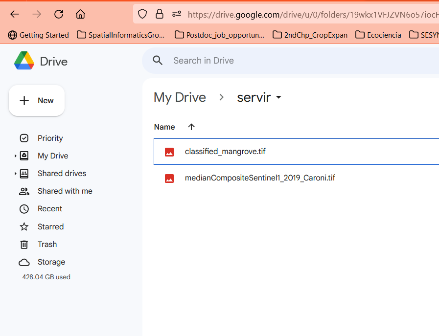
Now we can find our product in the Google Drive folder
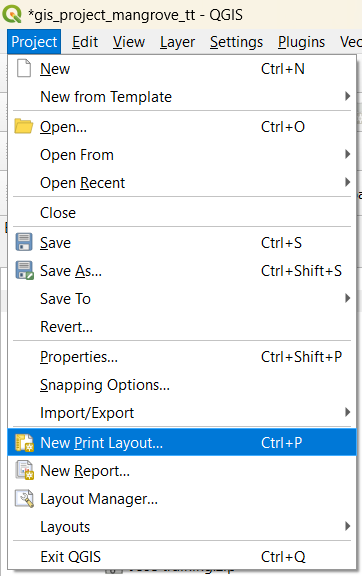
Now let’s open QGIS and start working on the mapping
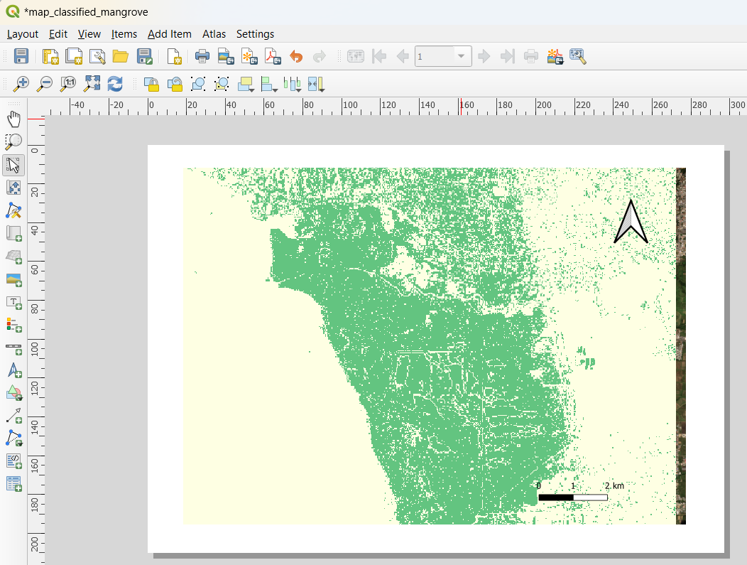
Let’s provide a good symbology to our product, and finalize the rest of map components