Challenges
Do these challenges in any order you’d like to!
Challenge 1
In the simple LandTrendr script, edit the code so that is does the following:
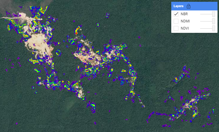
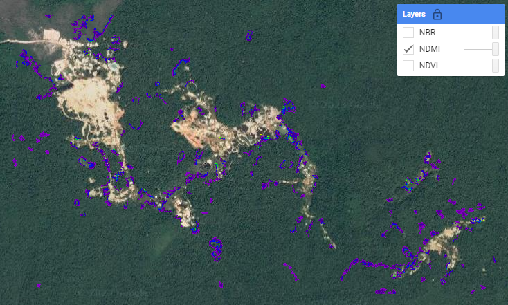
- analyse 3 indices - NDVI, NDMI, and NBR - all at once (instead of just NDVI)
- change the time period of interest to 2010-2020
- filter the results to show fastest gain
- filter the results to show a duration less than 10 years and a minimum mapping unit of 20
- visualize the magnitude of the change (instead of the year of detection)
- change the visualization parameters to a min and max that make sense
Add/remove the three layers and click around in Inspector mode to see whether some changes are captured differently by the three different indices.
Hint: For some of the tasks above, you will need to make changes in not only the first user-defined information section, but also the functions and the visualization parameters.
Challenge 2
Explore different parameters in the LandTrendr GUI. Change all of the following:
- area of interest - preferably to an area you are familiar with (remember to keep it small!)
- date range
- index/band
- change type
- change sort
- change filters
Try to create a narrative about what might have happened in that area and time period.
Challenge 3
Export the results from Challenge 2 as an asset, and import them into the LandTrendr visualization script.
Happy Coding!
Solutions
Challenge 1
Uncomment the code at the bottom to get the challenge solutions: https://code.earthengine.google.com/a0e260252869bad5d9a6984876a01f60